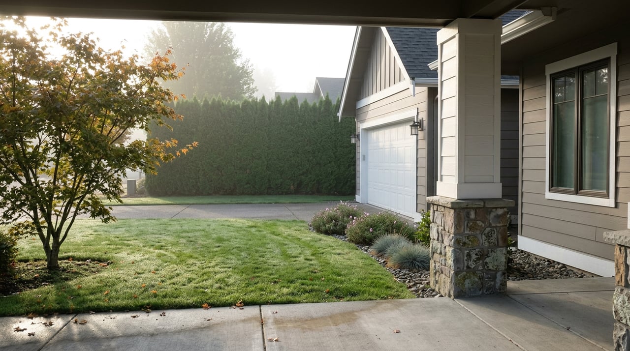
The BLM Only Built One 18-Hole Disc Golf Course in the Country, and It's Tucked Behind Danebo Avenue
September 17, 2026
September 17, 2026
Drive north on Danebo Avenue past the industrial lots, and you'll roll directly over a paved path most drivers never register. The Fern Ridge Path ducks under the road through a short underpass, and on the other side a half-mile loop trail breaks off toward wetlands that plenty of longtime Danebo residents have never actually walked. Follow that loop far enough and it connects to something specific enough to state as plain fact: the only 18-hole disc golf course the Bureau of Land Management has ever built on its own land anywhere in the country.
That's not a marketing line. The BLM's own visitor information for the West Eugene Wetlands confirms it: the Stewart Pond course, built in the fall of 2015 next to Bertelsen Nature Park, is the agency's first and still only 18-hole disc golf course on BLM-managed land in the nation, and it remains the sole 18-hole BLM course in Oregon or Washington. Every other stretch of BLM ground in this country that has disc golf has fewer holes, or none at all. Danebo has the flagship, and it sits a few minutes' walk from houses that most of their owners never think to connect to it.
The wetlands complex tucked behind Danebo Avenue isn't one park. It's a patchwork of separate pieces stitched together by the Fern Ridge Path, a paved multi-use trail that runs roughly seven miles from the Meadowlark Prairie trailhead on Greenhill Road through the wetlands and into the more urban stretch of west Eugene. Depending on where you enter, you're looking at a different piece of it:
None of this required anyone to drive to the coast or up a canyon. It's built into the same errand loop as the grocery run.
Here's the part that surprises people who do eventually walk the course: it isn't a fixed 18 holes year-round. According to Recreation.gov's own listing for the site, the layout is deliberately built to scale down with the seasons. Depending on rainfall, players work through 9, 12, or the full 18 holes, because the low-lying sections of the course sit close enough to the water table that standing water takes them out of play once the rains set in.
| Season | Holes typically playable | Why |
|---|---|---|
| Summer, dry ground | 18 | Full course open, no standing water |
| Late fall through winter | 9 to 12 | Low-lying holes flood and close |
That's worth knowing right now. It's the second week of September, which in the Willamette Valley marks the tail end of the reliable dry season. The full 18-hole layout is generally still playable at this point in the year, but by the time the rains settle in for real, typically within the next couple of months, the low-lying holes start going under and the course narrows back to 9 or 12, the way it does every winter. If you've been meaning to walk the whole thing before the ground goes soft, this is closer to the end of that window than the middle of it.
While the disc golf layout shrinks in winter, Stewart Pond gets more interesting. It's classified as a seasonal emergent wetland, which is a technical way of saying it's built to flood on purpose and dry out on purpose. Geese and ducks move through in numbers during the wet season that you simply won't see in July. If you're the kind of resident who already has binoculars by the back door, the calendar here runs backward from the golf course: the course peaks in summer, the birdwatching peaks in winter.
That contrast is the actual shape of the neighborhood's outdoor life. It isn't one amenity that's good year-round. It's two adjacent amenities on opposite schedules, sharing a parking lot.
None of this runs itself. The Willamette Resources and Educational Network, known locally as WREN, is the nonprofit partner that programs community access to the wetlands alongside the BLM. This year, WREN's two marquee public learning days landed on July 11 and August 15, both built around scavenger-hunt-style exploration for families rather than a guided lecture. Those dates have already come and gone for 2026, but they're useful as a signal: this isn't a preserve that sits quiet and unattended. It has a working calendar, a staff presence, and volunteer trail workdays that offer incentives like free t-shirts and fee-free federal lands vouchers to the first crews who show up to pull invasive plants and clear trail edges.
That kind of programming is also why the trail system stays walkable instead of gradually reverting to blackberry. Somebody is out there weeding it on purpose, on a schedule.
The wetlands themselves aren't the only part of this corridor that's been under active work. Eugene's Polk Street planning process, which shapes how the Fern Ridge Path connects into the surrounding street grid, wrapped up its public engagement period in March 2026 and published its final report in May. Part of that plan focuses specifically on the blind-spot problem where the path crosses city streets, with clearer sightlines, updated striping, and better lighting planned at the crossing itself. If you've ever hesitated stepping off the path onto a street here, that's a documented concern the city has been actively working through this year, not a problem nobody noticed.
None of this changes anyone's mortgage payment or property line. But it's the kind of local texture that decides whether a neighborhood feels like a place you're passing through on your way somewhere else, or a place where you actually spend your Saturday mornings. Danebo gets filed, in a lot of people's mental map of Eugene, as the quiet, affordable, slightly overlooked stretch west of the interstate. That's not wrong. But it undersells what's sitting a five-minute walk from a lot of front doors: a piece of federal land that exists nowhere else in this exact form, run by a nonprofit that's still actively programming it in 2026, connected by a trail network that the city is still actively improving.
If you've lived here a while and never actually stepped off the Fern Ridge Path onto that loop trail, September is a reasonable month to finally do it. The full course is still open. The birds haven't shown up yet. Both of those things are about to change.
We put together neighborhood pieces like this because we live and work in these same corridors, not because we're trying to sell you the house next to the trailhead, though if you're ever curious what a place near it is worth, that's a conversation we're always glad to have. If you want a straight read on your own home's value or you're just weighing a move within Lane County, Parker Heights Realty offers a free consultation and home valuation, no pressure, no script.
Stay up to date on the latest real estate trends.



We pride ourselves in providing personalized solutions that bring our clients closer to their dream properties and enhance their long-term wealth. Contact us today to find out how we can be of assistance to you!